Construction Drone Mapping
Delhi, India, Asia, Pacific and Middle East
Posted 7 views
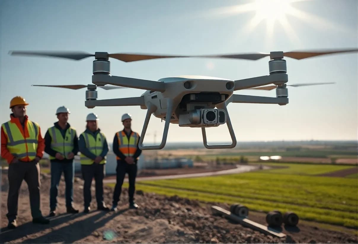
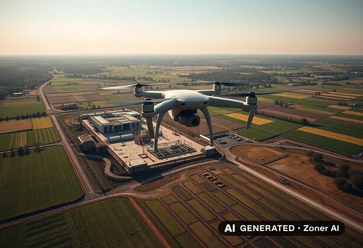
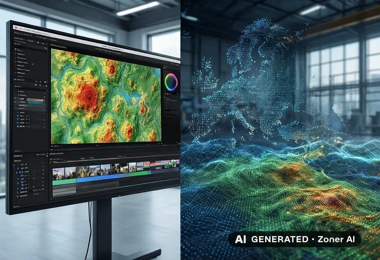
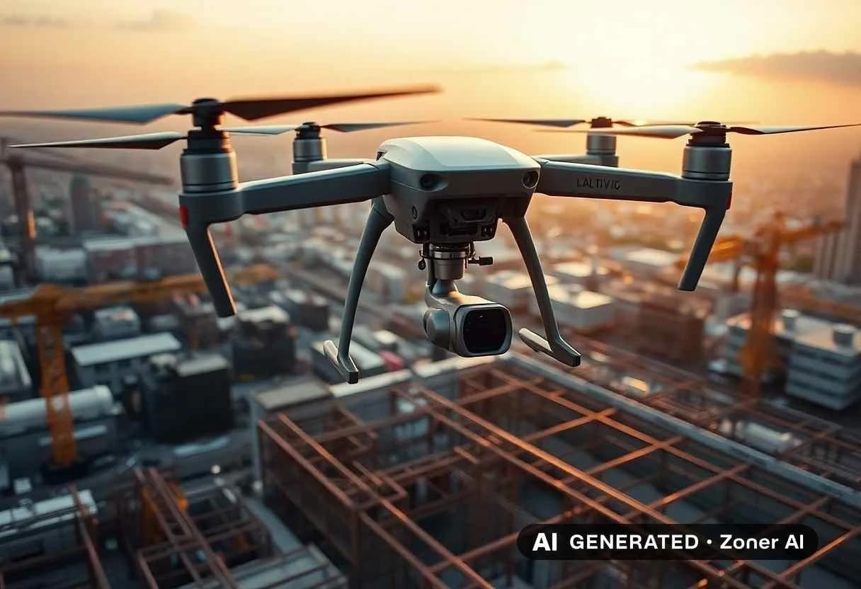
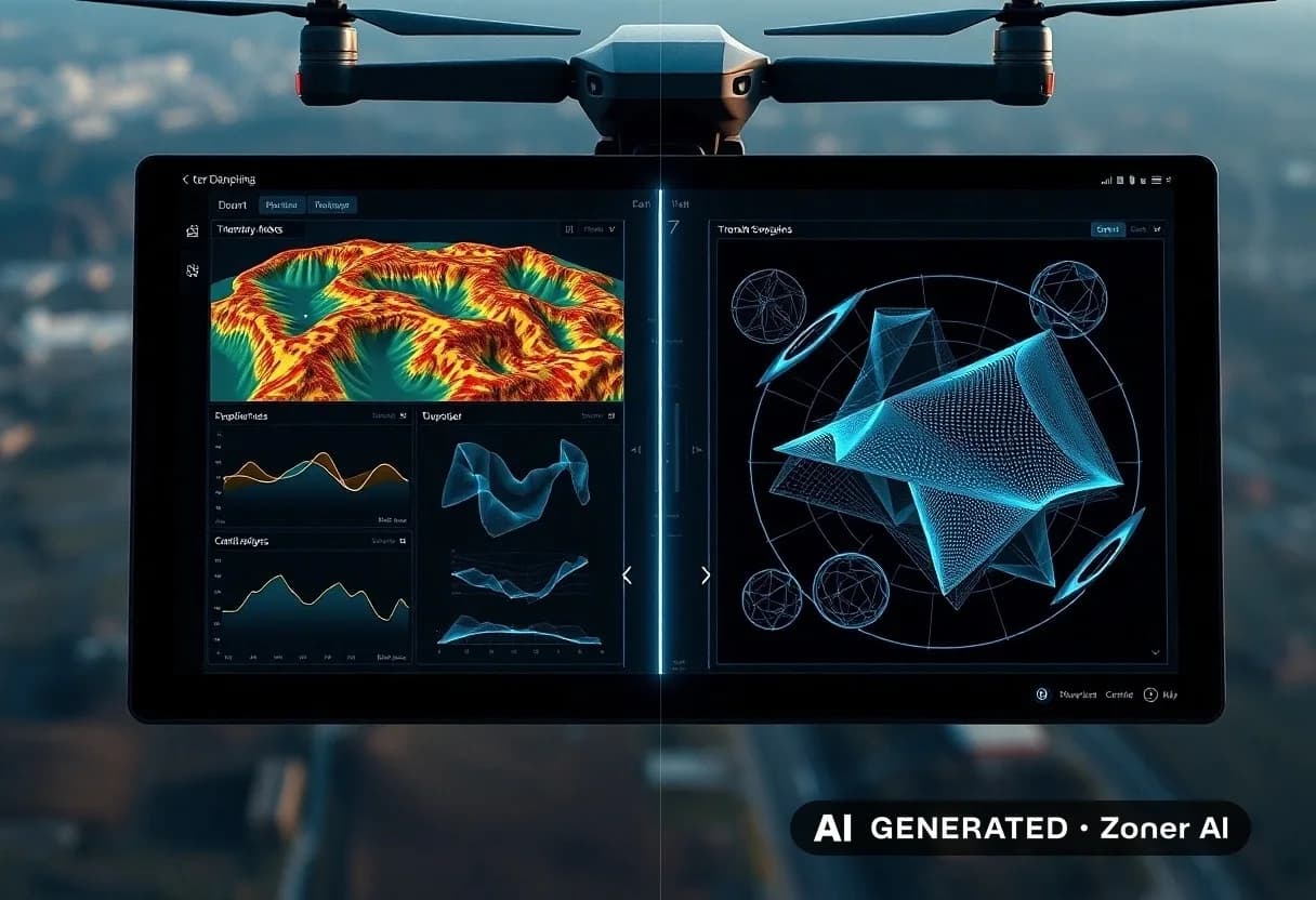
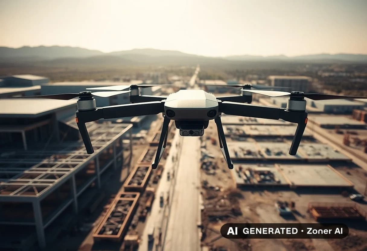
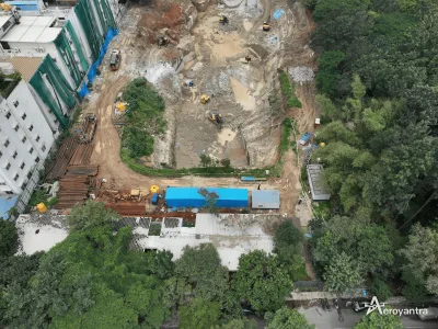
Unlock the potential of your construction projects with our state-of-the-art construction drone mapping services. Our drones provide accurate, high-resolution aerial imagery and topography data to streamline your workflow. Reduce costs, enhance precision, and accelerate project timelines with our advanced mapping solutions. Perfect for surveying, site analysis, and progress tracking. Whether you're managing large-scale developments or smaller projects, our technology ensures you stay ahead of the curve.
Safety Tips
- • Meet in a public place
- • Don't pay in advance
- • Check the item before buying
- • Beware of deals that seem too good
Approximate location