delhi, India, Asia, Pacific and Middle East
Posted 87 views
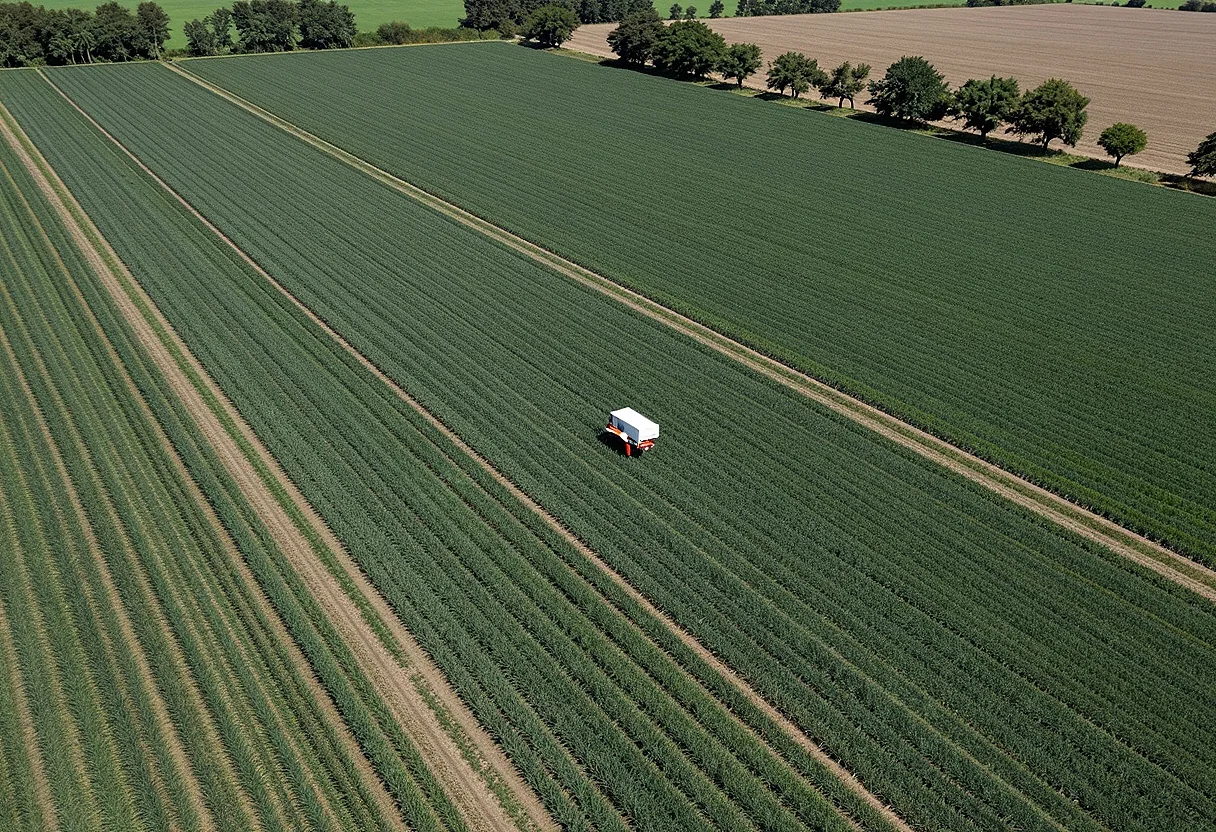
Unlock the potential of your farming operation with our cutting-edge drone agriculture mapping services! Our expert team utilizes advanced drone technology to provide precise mapping and data analysis for your fields. Maximize crop yield and reduce costs by identifying issues before they become problems. Whether it’s monitoring crop health, planning planting layouts, or assessing soil conditions, our drone services are tailored to meet your specific needs. Transform your agricultural practices with drone agriculture mapping now!
Approximate location


