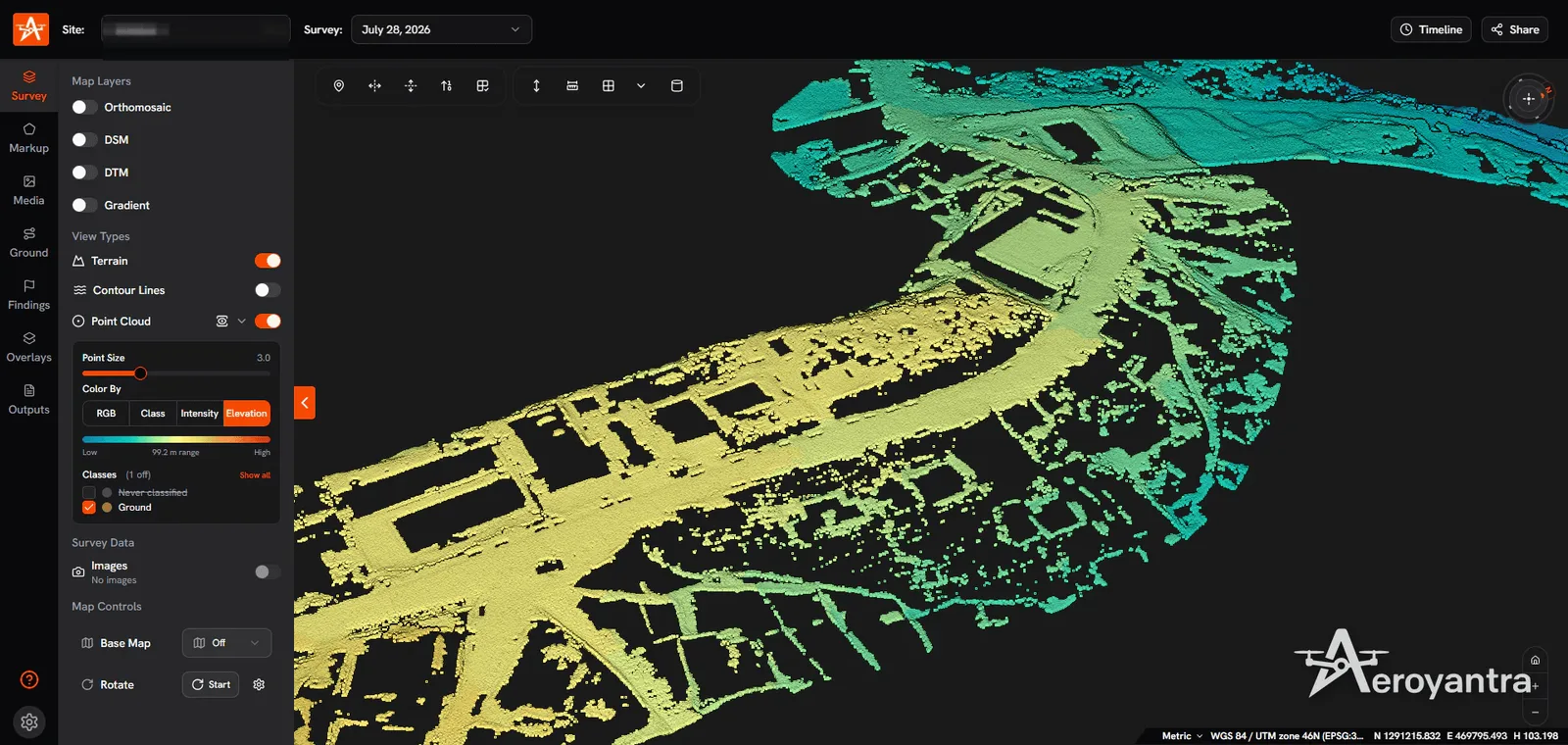
Aerial Survey
New York, US
Posted 2 views
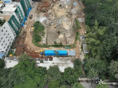
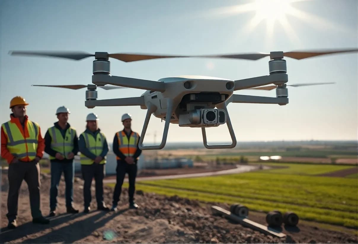
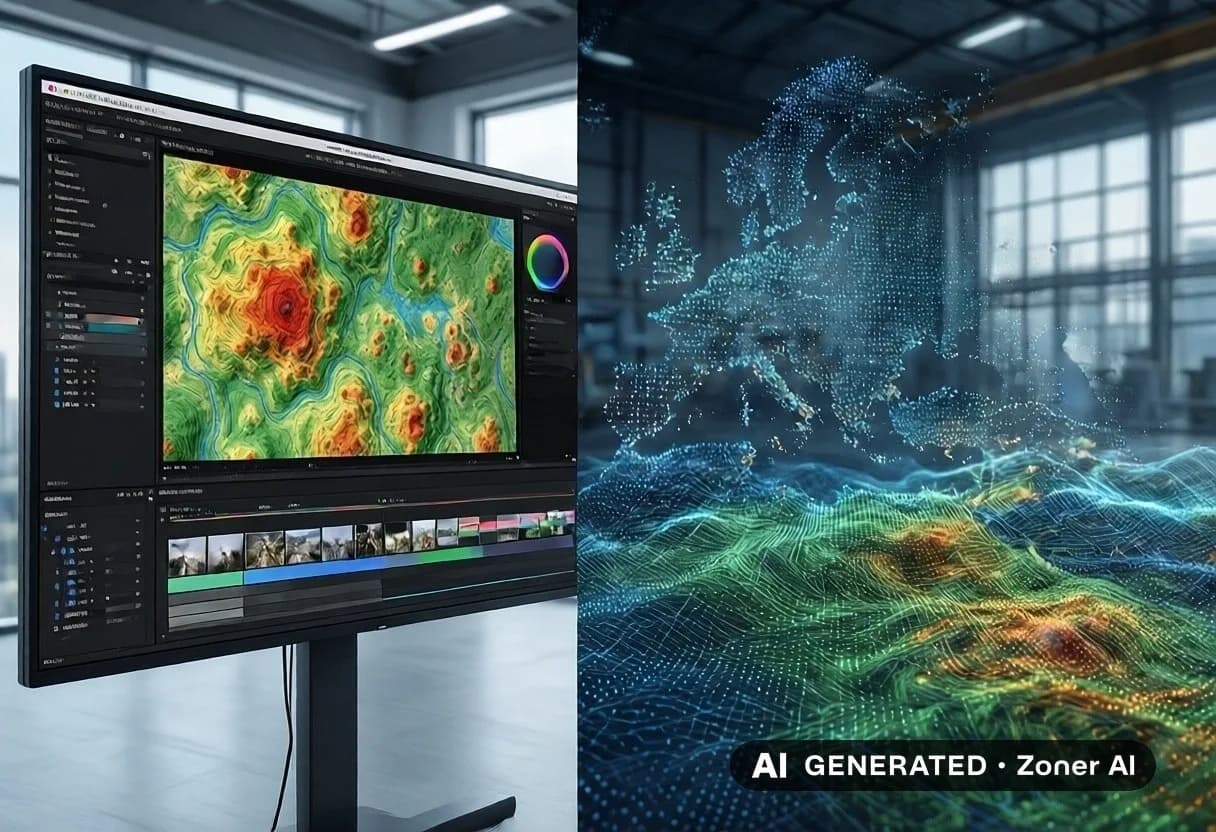
Unlock the potential of your project with our professional aerial survey services! At Aeroyantra Technologies Private Limited, we specialize in capturing high-resolution aerial imagery for construction, land development, and environmental assessments. Our cutting-edge drone technology provides accurate and detailed data, helping you make informed decisions. Whether you need topographic mapping or 3D modeling, our team is equipped to deliver exceptional results. Trust us to enhance your project efficiency and save time.
Safety Tips
- • Meet in a public place
- • Don't pay in advance
- • Check the item before buying
- • Beware of deals that seem too good
Approximate location